


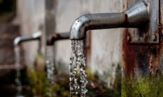
WASA shares New Timings for water supply in Lahore on Eidul Fitr 2025
LAHORE – Water and Sanitation Agency (WASA) Lahore announced extended operating hours for tube wells on Eid ul Fitr to…
Eidul Fitr 2025 on Sunday in Saudi Arabia as Shawwal moon sighted
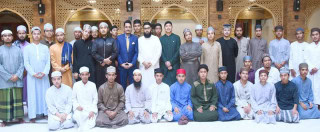
RIYADH – Kingdom of Saudi Arabia confirmed that Eid ul Fitr 2025 will be celebrated on Sunday, as Muslims across…

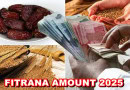
Cooking Oil, Ghee prices move up in Pakistan ahead of Eid 2025; Check new rates
LAHORE – Eid festivities in Pakistan are shadowed by price hikes as rates of several commodities, including Ghee and Oil…

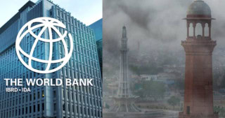
World Bank funds $300 Million Loan to tackle smog crisis in Punjab
KARACHI – World Bank powered Pakistan’s most populous region Punjab with $300 million loan aimed at improving air quality. This loan…
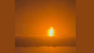
Heroic Chinese nurse protects newborns amid strong Earthquake (VIDEO)
KUNMING – Nurses at a maternity center displayed bravery when a powerful earthquake struck Myanmar, sending intense tremors across the border…

Beggars swarm Pakistani markets ahead of Eid 2025
KARACHI – Eidul-Fitr is almost here, and packs of charged beggars take over streets, public spaces in Pakistani bustling commercial…

Which Pakistani Legal Eagle will defend Rajab Butt in Blasphemy Case?
ISLAMABAD – YouTuber Rajab Butt remains in news as the internet sensation is facing blasphemy case after launch of his…

What are New Levy Rates for Petrol, Diesel and other fuel products in Pakistan?
ISLAMABAD – Pakistanis are paying record Petroleum Levy as the federal government notified petroleum development levy (PDL) on all fuel…

Bollywood superstar Salman Khan expresses desire to work with Pakistani actors
MUMBAI – Bollywood superstar Salman Khan on Saturday expressed his willingness to work with the Pakistani actors. “I am ready…

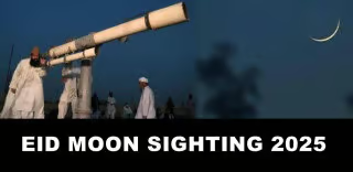
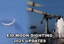
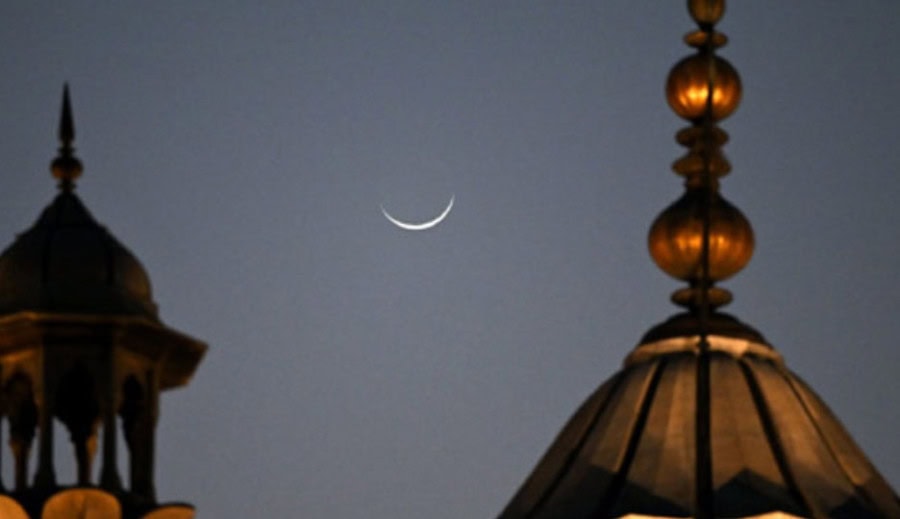
Eid 2025 moon sighting update in Pakistan: Shawwal crescent birth time revealed
KARACHI – The Research Ruet-e-Hilal Council has made an important announcement regarding the birth of Shawwal moon, which will mark…