Observer Report
Islamabad
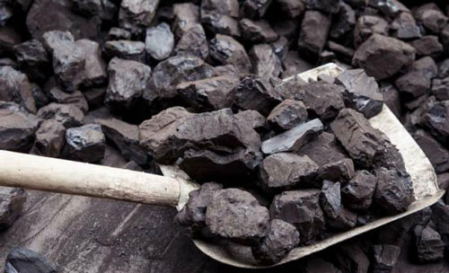
The geological experts have completed 100 percent mapping of Nosham area of Balochistan under a coal exploration and evaluation project, for which the federal government has allocated Rs6.524 million under the Public Sector Development Programme (PSDP 2020-21).
The Rs 42.318 million project titled “Exploration and Evaluation of Coal in Nosham and Bahlol Areas, Balochistan” had been approved in 2017 which made significant progress during the last two years, a senior official privy to petroleum sector developments told media.
Elaborating the updated physical progress, he said initial study of maps, toposheets, aerial photographs and satellite imageries had been completed. While data had been transferred from aerial photographs/satellite imageries onto toposheets, he added.
“Preliminary reconnaissance geological mapping has been commenced while 100% Geological Mapping of Nosham area has been completed.”
Uptill now, the official said, five stratigraphic sections had been measured, besides purchasing different field and lab items. Whereas, compilation of field data, analysis and integration of data to prepare the required geological maps was in progress.
“Drilling of 1st borehole (BNCP#01) at Nosham area, Barkhan district has been completed to the depth of 297 meters, where coal seams encountered at different depths. Geological logging of exploratory borehole/logs and Geophysical Survey (Resistivity) has also been completed in the project area,” he said.