London
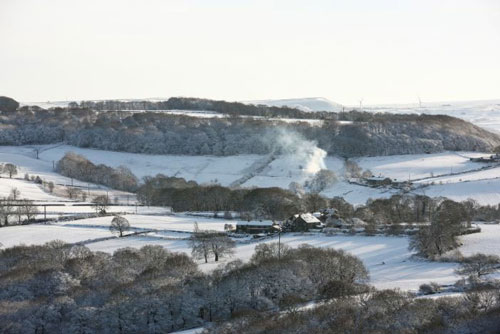
Brits have woken up to a blanket of snow with weather warnings in place across swathes of the country.
Forecasters say there has been up to 2cm in Norfolk and East Anglia so far with the potential for more snowfall until midday.
It comes after the Met Office issued yellow weather warnings for snow and ice across Scotland, northeast England, the east midlands and the south-east, lasting until Saturday evening.
Snow and ice could cause travel chaos, with the potential to leave vehicles stranded and rural communities cut off, the warnings say.
The amber warning states: “There is a good chance that some rural communities could become cut off.
“Power cuts are likely and other services, such as mobile phone coverage, may be affected.”
Met Office meteorologist Greg Snell said the wintry showers moved eastwards across the UK overnight with rain turning to snow by Saturday morning.
Areas of north London, Kent, Norfolk, and East Anglia have all woken to a dusting of snow, he added.
Snell said both Andrews Field in Essex and Barnham in Norfolk reported 2cm this morning.
He added that the amber weather warning covers up to 10cm of snow so there could possibly be higher totals in several places as more falls in the next few hours.
He said: “As we go through the next hours even in the areas where it is snowing it will transition back to rain as the afternoon goes on.
“By midday the worst of the snow will be out the way,” he added. Temperatures are expected to rise on Saturday afternoon to around 2C in the east.
South-west England will be the mildest region, which could see highs of 10C or 11C.
As temperatures drop going into Saturday night, Snell warned that there could be icy patches, especially in East Anglia.—AFP


