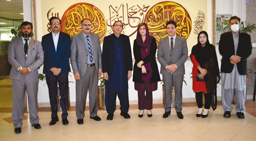
A seminar on Role of Geographic Information System for Climate Change was organized by the Department of Meteorology, COMSATS University at the Islamabad Campus.
The Chief Guest, Zartaj Gul, Minister of State for Climate Change participated in the seminar.
Gul stressed to deploy GIS to help better understand climate change and to cope with the environmental and climatic issues of smog, extreme weather events, such as hill torrents, droughts, urban flooding, and glacier melting and their solutions.
Further, she expressed the government’s resolve to seek smart tools to aid in eliminating the usage of polythene bags as well as facilitating an informed implementation of the plastics ban.
She said that GIS applications can be used for identification of sites for small dams for water storage as well as other purposes required in the far-flung areas of the country, such as Koh-e-Suleman and Thar region.
Prof. Muhammad Tabassum Afzal suggested to raise public awareness of the importance of geospatial technologies as well as to sensitize the stakeholders towards advocating the role of GIS in climate related issues.


